Access Points - Get to know them!
During the four-year construction of the 150 km long SNMT, volunteers used different access points to facilitate their work. Of these, 21 have been kept in service (to varying degrees) and are used by maintenance crews, rescue teams and hikers to approach or leave different sections of the Trail.
Access Points are particularly important for multiday or thru hikers and should be carefully studied before leaving home. Many hikers are unable to complete their journey due to blisters, bad weather, time constraints, emergencies, etc, and Access Points provide the best means to exit the trail. Access Points are either located at road intersections or have Access Paths that lead to roads. A preliminary review of Access Points can be made on the Interactive Map but hikers should always carry in their packs both the SNMT’s Guide Book and Map (see FAQ #3) which show Access Point GPS coordinates and locations of the Access Paths.
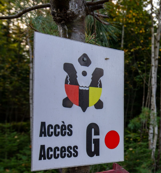
Each Access Point is identified by a letter – “A” through “U” (see summary table below) and prominently appear on the trail as large white signs (20 cm x 25 cm). Hikers often use the signs to double check their location. Gaps between Access Points can be as short as 4 km and as long as 11.5 Km.
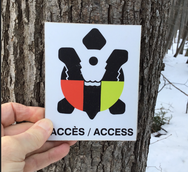
Fifteen of the 21 Access Points have an Access Path to reach them. These Access Paths are marked with regularly spaced, smaller signs (10 cm x 13 cm) showing a turtle on a white background.
All Access Points are not created equal…
The trail's easiest Access Points to locate are those found at road crossings. Access Points A and U, the trail’s two trailheads, are examples. So are Access Points B and C. Access Points E, L and R are also at road crossings and should be given particular attention by multiday or thru hikers. They roughly divide the trail in 4 parts. Access E is at Km 32, Access L is at Km 79 and Access R is at Km 123. If you are suffering from blisters, fatigue, etc these are your best bailing out spots - by far! Circle them on your map! Access Point E is on well-travelled Route 360 and its relative proximity to the City of Bathurst makes it a favourite for day hikers. Access Points L and R are located on the much more remote and gravel surfaced Nepisiguit Forest River Road. It is notorious for flats and only vehicles (ie. trucks) with 10 ply tires should use this road. But for hikers unexpectedly forced to cut short their outing, these two access points are your best option. Patience is often necessary though as it may be several hours before a vehicle passes and can be flagged down.
Exiting the SNMT via Access Points M, N, O, P, Q, S and T requires wading across the Nepisiguit River. Once across the river, only short hikes (50 -500 meters) are necessary to reach the graveled Nepisiguit River Forest Road (see comments on 10 ply tires above). Hikers exiting at T and S remain quite remote and should make their way east on the Nepisiguit River Forest Road to R where it meets with the Portage Road (also dirt). It is worth repeating that traffic on the Nepisiguit River Forest Road can be intermittent and hikers should be prepared to wait for hours before being able to flag down a vehicle. Important! It is impossible to wade across the Nepisiguit River in the spring and autumn due to high and very cold water. Crossing during these periods requires a canoe and good white water paddling skills.
Exiting the SNMT via Access Points F, G, H, I, J and K is not encouraged as it involves hiking along infrequently used access paths/abandoned logging roads 1.5 to 9 km to attain Taylor Brook Forest Road – itself a dirt road sparingly traveled (i.e., prepare to wait for hours). Without good local knowledge and a truck with 10 ply tires, these Access Points are not recommended as starting points for hikers either.
Access Point D can only be reached by crossing a deep section of the Nepisiguit River and is solely used by emergency personnel equipped with boats.
Access Points - Summary Table
| N0 |
Access Point. |
Nearby Geographic feature or Historical Site |
Distance Between Access Points (km). |
Sum (km). |
|---|---|---|---|---|
| 1 |
A |
Daly Point Nature Reserve (Bathurst) |
/ |
0 |
| 2 |
B |
Pump House |
10 |
10 |
| 3 |
C |
Red Brook Road |
9 |
19 |
| 4 |
D |
Long Hole |
6.7 |
25.7 |
| 5 |
E |
Middle Landing |
6.3 |
32 |
| 6 |
F |
Chain of Rocks |
8 |
40 |
| 7 |
G |
Nepisiguit Dam |
8 |
48 |
| 8 |
H |
The Narrows |
8 |
56 |
| 9 |
I |
Three Islands |
4 |
60 |
| 10 |
J |
Teepee Tiam |
5 |
65 |
| 11 |
K |
Coles Brook (Teepee Geonig) |
8 |
73 |
| 12 |
L |
Heath Steele Bridge (hyw 430) |
6 |
79 |
| 13 |
M |
40 Mike Brook |
6 |
85 |
| 14 |
N |
44 Mile Brook |
6 |
91 |
| 15 |
O |
Indian Falls |
5.5 |
96.5 |
| 16 |
P |
Indian Falls Depot |
8 |
104.5 |
| 17 |
Q |
Devil's Elbow |
6.5 |
111 |
| 18 |
R |
Popple Depot |
11.5 |
122.5 |
| 19 |
S |
Pentland Brook |
8.5 |
131 |
| 20 |
T |
McEwan’s Bridge |
8 |
139 |
| 21 |
U |
Nepisiguit Lakes (Mt. Carleton Park) |
11 |
150 |